Weather turns windy across Estonia today; particularly dangerous storm expected on the islands
The Environment Agency warns that today, December 27 2025, a very strong storm wind will reach Estonia. A Level 3 warning—indicating particularly dangerous weather—has been issued for the islands of Western Estonia and the northern part of the Baltic Sea, pointing to a high risk of damage and life-threatening situations.
According to the forecast, the northwesterly wind will strengthen already before noon today and reach its peak towards the evening.
- On the islands and coastal areas, wind gusts may reach 32–33 meters per second.
- In Western Estonia more broadly, gusts of 25–27 m/s are expected.
- Inland, the weather will also turn windy, with gusts reaching up to 17 m/s.
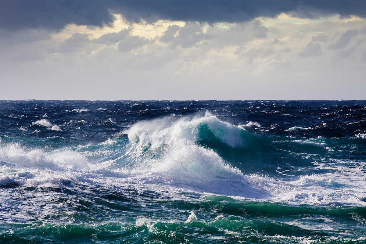
The Weather Service reports that the exceptionally strong wind may break trees, damage buildings, cause extensive power outages, and seriously disrupt traffic. The situation at sea is very dangerous: a strong storm is forecast for the Northern Baltic Sea, the western part of the Gulf of Finland, and the Väinameri (Moonsund), meaning shipping traffic may be disrupted or suspended.
Warning: A Level 3 warning indicates particularly dangerous weather, where major damage and a direct threat to life and health are likely.
Residents are advised to stay indoors if possible, secure loose objects, and follow all instructions from authorities. If necessary, be prepared for emergency measures.
Be sure to follow the weather forecast page on our portal and current warnings from the Weather Service.


